Western Australia

WA interactive map
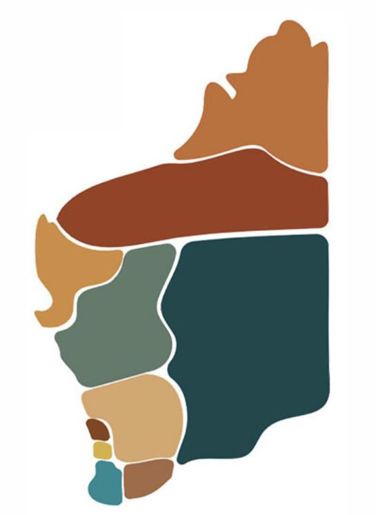
Find this map on the publications, resources, programs, organisations, courses and jobs sections of the WA Portal to filter content by the following regions:
- Gascoyne
- Goldfields-Esperance
- Great Southern
- Kimberley
- Mid West
- Peel
- Perth
- Pilbara
- South West
- Wheatbelt.
WA is Australia’s largest State, taking up one third of the whole of the Australian land mass. Over three quarters of Western Australians live in the Perth metropolitan region, with around 5% in the Peel area [46763]. This is a similar distribution for Aboriginal and Torres Strait Islander people in WA with the majority living in the Perth, Peel and South West regions, followed by the Kimberley region.
Of all the people living in the Kimberley region, around 40% identify as Aboriginal and/or Torres Strait Islander [46764]. This is a much higher percentage than the Perth and Peel regions, where Aboriginal and Torres Strait Islander people make up less than 5% of the population.
In the 2021 Census, 3.3% (89,000 people) of the WA population identify as Aboriginal and/or Torres Strait Islander people compared with 3.2% nationally [46764]. Of the 89,000 people who identify as Aboriginal and/or Torres Strait Islander in WA, 95.8% identify as Aboriginal, 1.8% as Torres Strait Islander, and 2.3% as both Aboriginal and Torres Strait Islander.


